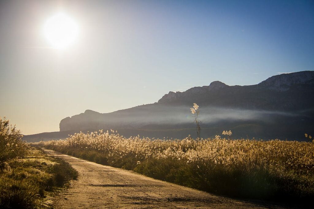
Between Pego and Oliva, south of Gandia, the Marjal de Pego-Oliva Natural Park protects approximately 1,255 hectares of wetland. Rivers, ullals, reed beds and rice fields create a landscape best discovered along its official routes.
Contents
The marsh can be visited throughout the year, but it is not an unrestricted network of trails. Farm tracks, watercourses and breeding areas all coexist within the protected space. Choosing a signposted route allows you to enjoy it without interfering with its conservation.
From an ancient lagoon to a freshwater marsh
The park occupies an ancient bay that was separated from the Mediterranean by a coastal sandbar. Sediments gradually filled the lagoon to create a wet plain fed by aquifers. The dune system at l’Ahuir beach reveals the same relationship between sea, sand and wetland in another protected landscape of La Safor.
The Marjal de Pego-Oliva was declared a Natural Park in 1994. It is also included on the Ramsar List of Wetlands of International Importance, is a Special Protection Area for Birds and forms part of the Natura 2000 network. These designations recognise both its biodiversity and its role in migrations between Europe and Africa.
Bullent, Racons and ullals: the water system
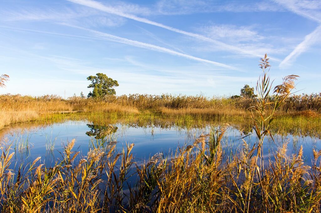
The wetland’s environmental quality depends on the underground springs, or ullals, fed by the aquifers of the Mostalla, Migdia and Segària mountains. The riu Bullent, also known as the Vedat, crosses the northern sector. The riu Racons, or Molinell, marks the southern boundary and helps drain the marsh. Ditches, canals and sluices complete a network transformed over centuries to regulate flooding.
Rice fields form part of this cultural landscape. Around 300 hectares are cultivated, and their cycles alter the appearance of the park: dry fields, flooded plots and green surfaces follow one another according to farming work and water availability. Tracks between rice fields are working areas and should only be used when they are public or form part of an authorised route.
What to see in the Marjal de Pego-Oliva
- Muntanyeta Verda: a small hill with a panoramic viewpoint, rest area and the starting point for the red route.
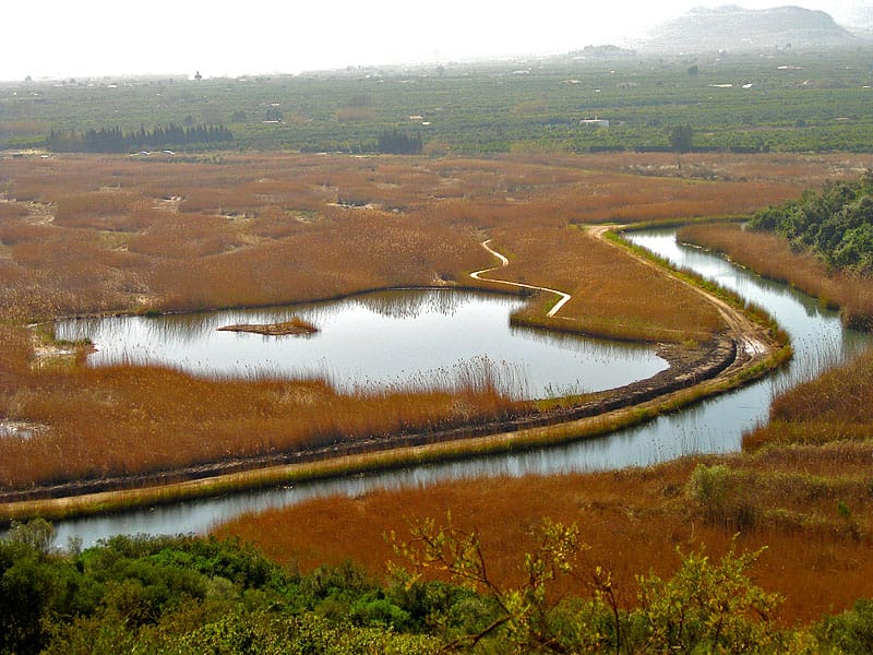
- Bassa de Sineu: a permanent pool with a boardwalk and bird screen for watching wildlife without approaching its refuge areas.
- Riu Bullent and Parà de Sant Pere: the river and its historic sluice system show how flooding of the rice fields has been managed.
- Font Salada or Font Salà: a saltwater spring used for recreation. It is not a spa, and medicinal properties should not be attributed to its water.
- Riu Racons: the southern sector offers another landscape of channels, riverside vegetation and cultivated fields.
Official routes and access to the park
The previous article suggested a 6.85-kilometre circuit based on third-party tracks. This distance does not correspond to an official park route and may cross farm roads or sections whose conditions change. For a safe visit, choose one of the itineraries recognised by the Generalitat:
- Red route of the Muntanyeta Verda: a circular walk of approximately 2.7 kilometres with low difficulty, suitable for a first panoramic view.
- Blue route or cycleway: an itinerary designed for cycling through different parts of the park on the authorised network.
- Bullent birdwatching itinerary: an introduction to the river and wetlands of the northern sector.
- Racons birdwatching itinerary: a route through the southern sector and its riverside and rice-field habitats.
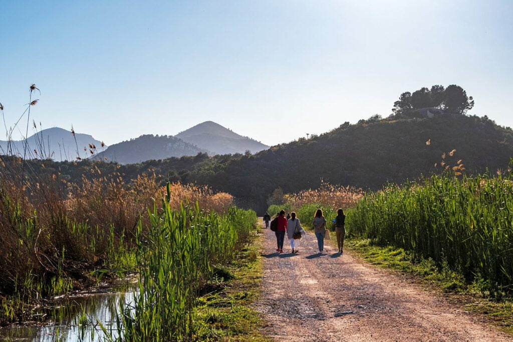
From Gandia, follow the N-332 or AP-7 towards Oliva and Pego. The CV-678 crosses the wetland and connects several access points, but it is best to head for signposted trailheads and use only designated parking areas. Before setting out, check maps, notices and possible closures on the Natural Park’s official website.
Birds and landscapes throughout the year
Spring concentrates the breeding activity of birds such as black-winged stilts and terns. At this time, keeping your distance, staying on boardwalks and avoiding noise is especially important. Autumn and winter bring migratory and wintering waterbirds, while summer offers a landscape shaped by the rice fields, high temperatures and less comfortable walking conditions around midday.
The park also protects threatened fish such as the samaruc (Valencia toothcarp) and the fartet (Spanish toothcarp). Since 2019, it has participated in work to restore the osprey. Binoculars and distance are enough to watch wildlife: approaching nests, feeding animals or flying drones without authorisation disturbs the very nature visitors have come to see.
How to visit responsibly
- Follow the signs: do not enter farmland, sluice areas, nesting sites or closed tracks.
- Keep dogs on a lead: prevent them from approaching wildlife or entering rivers and ullals.
- Do not swim in other watercourses: recreational use of Font Salada is regulated, while rivers and springs are sensitive habitats.
- Avoid the hottest hours: shade is limited, so carry water, use sun protection and wear suitable footwear even on short routes.
- Check official notices: fire risk, farming work or authorised activities may temporarily alter access.
- Leave the area as you found it: do not pick plants or feed animals, and take all rubbish away.
This marsh should not be confused with the Alqueria del Duc and the Marjal de Gandia. They are two different wetlands in La Safor and offer complementary visits: Pego-Oliva stands out for the scale of its natural park, rivers and rice fields, while Gandia combines nature, historic heritage and a route closer to the city.