
At 841 metres, Mondúver is the mountain you can see from almost anywhere in Gandia: a limestone massif just a few kilometres from the beach, with waymarked trails, one of the toughest cycling climbs in the area, mountain races, rock climbing and caves with Palaeolithic art.
Contents
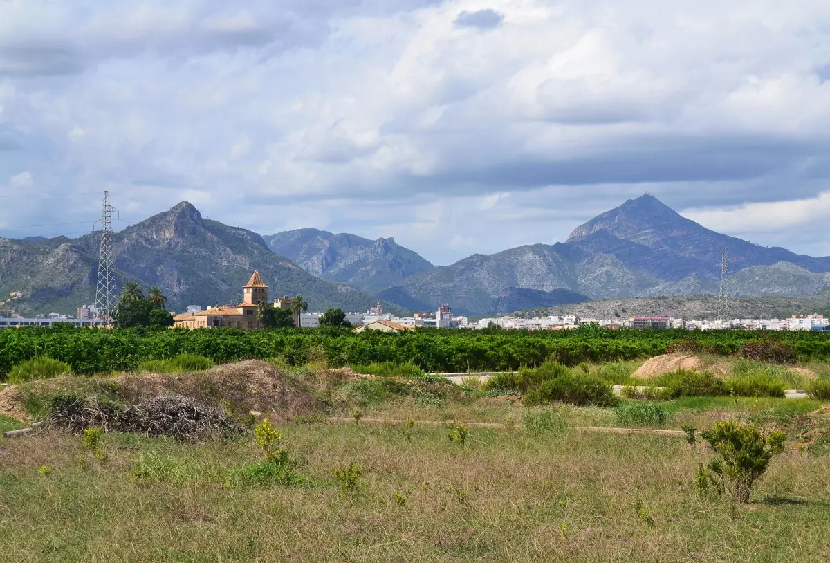
The summit, crowned by the antennas of a radio and television transmitter, lies within the municipality of Xeresa, although much of the mountain is shared between Barx and Xeraco, and its southern slope drops down towards Gandia. From the top you look out over the Gulf of Valencia, from the beaches of Tavernes, Xeraco and Gandia to Cape San Antonio, and on clear days the island of Ibiza appears on the horizon.
The name also has a literary echo: in Tirant lo Blanch, the novel by Joanot Martorell, there is a castle called Mont Túber.
A limestone massif between the sea and the Valldigna
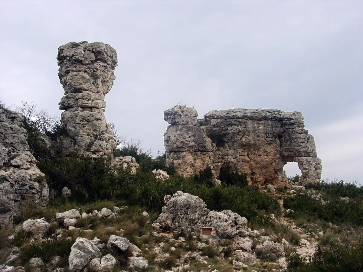
Mondúver is a Cretaceous massif shaped by water. Sinkholes, shafts and poljes such as La Drova channel rainwater underground, and the water re-emerges at the foot of the mountain in springs such as the Font de Simat, the source of the river Vaca.
Its slopes are part of the Serres del Mondúver i Marxuquera Special Area of Conservation, and the Gandia side is also protected as the Parpalló-Borrell Municipal Natural Site.
PR-CV 153: the classic ascent from Xeresa
The waymarked PR-CV 153 La Font del Mondúver trail is the most mountaineering-style way to reach the summit. It starts from the park of the Ermita de la Santísima Trinidad, on Calle Mondúver in Xeresa, climbs up the ravine through Mediterranean woodland, passes close to the Font del Mondúver spring and reaches the trig point beside the antennas. The return follows the ridge, a rugged path with sections fitted with fixed ropes.
- Distance: 16 km, circular with shared out-and-back sections.
- Elevation: 1,010 m of ascent and the same again in descent.
- Estimated time: 6 h 15 min, not counting stops.
- Difficulty: high, with an effort rating of 4 out of 5 on the MIDE scale.
Higher up, the route joins the PR-CV 51, the trail that crosses the Valldigna. The views take in Montcabrer, Benicadell, the Alzira ranges and Montgó. Its official approval is conditional because of gaps in the waymarking, so take the track on your phone or GPS.
La Drova: the climb that tests cyclists
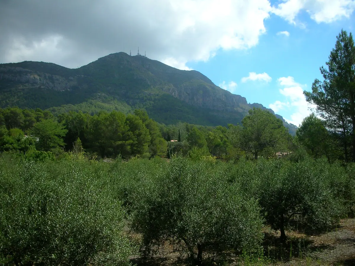
From the La Drova plain, in Barx, a concrete and tarmac track climbs to the antennas on the summit. It is 4.1 km long with around 475 m of elevation gain, an average gradient close to 11.5% and ramps of over 20%. It is a classic challenge for road, gravel and mountain bike riders.
On foot it is the most direct ascent, with no technical sections but a relentless gradient. From Gandia, La Drova is reached along the CV-675 road towards Barx.
Trail running: the Mondúver Trail in Xeresa
Mountain runners have their own event in the Trail Xeresa Mondúver, a scoring race in the Lliga de Muntanya València Sud organised with Xeresa Town Council. It is usually held in mid-December over two distances: a trail of around 22 km with more than 1,200 m of elevation gain, and a shorter sprint trail. The date, places and prices for each edition are published on the Mychip registration platform.
Climbing and via ferrata in Marxuquera
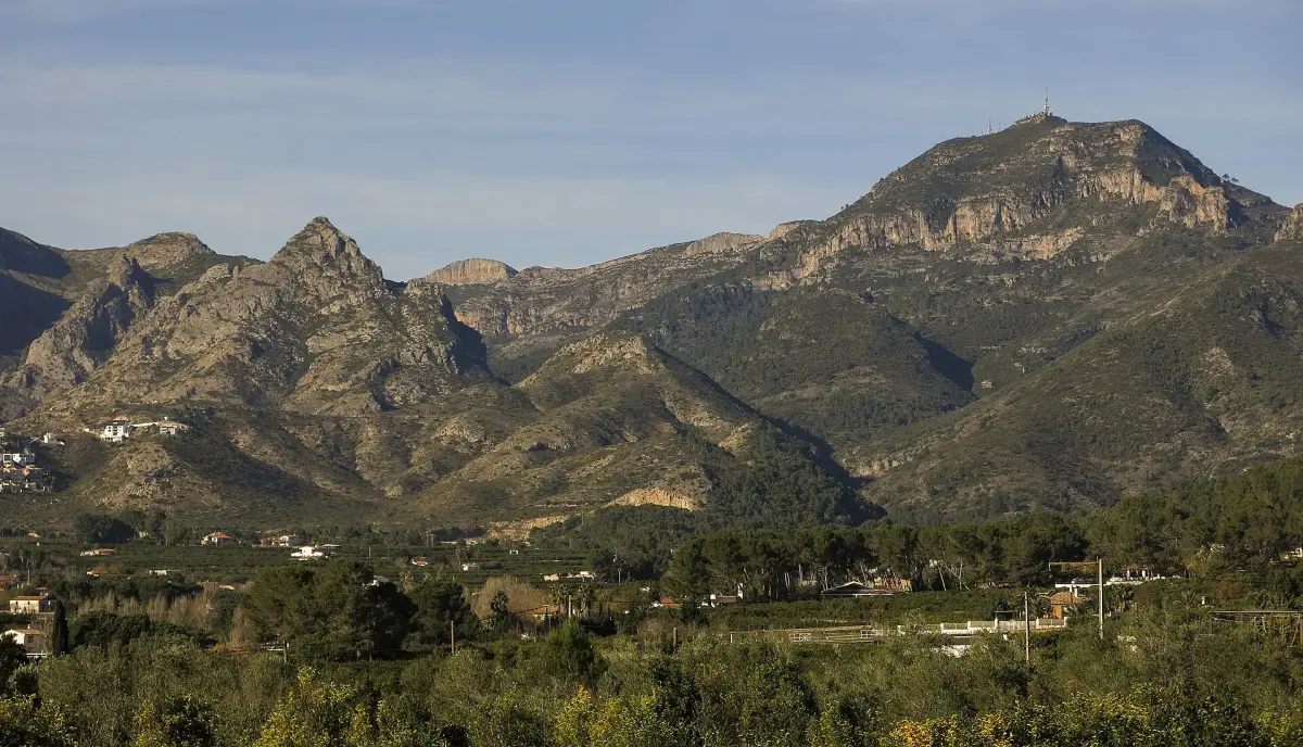
On the Gandia side, above the Marxuquera valley, Penya Roja, Gandia’s sport climbing crag, has more than a hundred bolted routes on south-facing limestone, ideal in the cooler months. Since 2023 the access land has been municipally owned.
Close by, next to Camping La Escalada, the La Falconera via ferrata combines K2 and K3 sections with two Tibetan bridges, a Malaysian bridge of around 50 m, a hinge and a zip line of around 125 m between its two sections. It is a private, paying facility that requires a mountaineering federation licence or insurance covering the activity; it rents out equipment and runs guided outings with an instructor.
If you would rather walk without ropes or a harness, the hiking route up the Molló de la Creu offers another panorama over Marxuquera and the sea.
Caves, shafts and Palaeolithic art
The Cova del Parpalló, excavated by Lluís Pericot between 1929 and 1931, yielded more than 5,000 engraved and painted stone plaquettes, and it can be visited on a guided tour, booked in advance, from the Centre d’Interpretació Parpalló-Borrell. The Cova de les Meravelles, with Palaeolithic engravings, is visited with a guide from the Morabit de Marxuquera, and in Barx lies the Cova de les Malladetes, another prehistoric site.
Underground, the municipality of Barx hides deep shafts such as the Avenc Pilar, some 235 m deep, and sinkholes such as the Avenc de la Donzella, which drains water from the basin where the village stands. These caves are reserved for trained cavers with vertical equipment.
When to go and how to prepare
- Best time: autumn, winter and spring; in summer the heat builds early.
- Wildfire risk: on days of maximum pre-emergency level, activities in the countryside are restricted.
- Water and footwear: carry plenty of water and wear mountain boots or shoes, essential on the PR-CV 153 ridge.
- Timing: allow enough margin to get back in daylight.
To round off the trip, the monastery of Santa Maria de la Valldigna, north of the massif, and that of Sant Jeroni de Cotalba, in Alfauir, are stops on the Route of the Monasteries from Gandia.
Practical information
Before setting out, check the official PR-CV 153 page on the FEMECV website, the prices for the La Falconera via ferrata and the pre-emergency level on the 112 wildfire website. The trail start in Xeresa is on Google Maps.