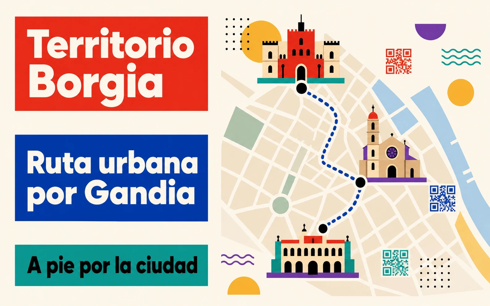
In the city of Gandia, birthplace of the Borgia family, a route has been designed to discover more about the legacy this family left to the city. This route can easily be explored on foot and features informative guides using QR codes. The Borgia Territory Route consists of nine points to visit in sequence.
Contents
The route
Point 1. Plaza Mayor

It is in the Plaza Mayor, in the city centre next to the town hall, where the Borgia Territory route begins. The Plaza Mayor in Gandia has maintained its appearance since the end of the 13th century. References to its arcaded area and Tuesday market can be found as far back as 1268.
Jaime I ordered the construction of the church, as well as the House of the Council, the Court of Justice, the prison and the almudín or wheat store for municipal supply. In 1485, Cardinal Rodrigo de Borja (who would go on to become Pope Alexander VI) bought the Duchy of Gandia to leave to his children as an inheritance.
Map location of the Plaza Mayor in Gandia ↗
Point 2. Collegiate Church of Santa María

The second point is the Collegiate Church of Santa María. The Royal Dukes of Gandia, Alfonso of Aragon “the Elder” and his son Alfonso “the Younger”, demolished the original temple to build a new one
The Borja family completed the church under the guidance of María Enríquez, widow of the second Duke of Gandia, closing it with the “Door of the Apostles”. Finally, Pope Alexander VI raised it to the rank of collegiate church, attracting the most important artists of the time.
Map location of the Collegiate Church of Santa María ↗
Point 3. Mirador del Serpis
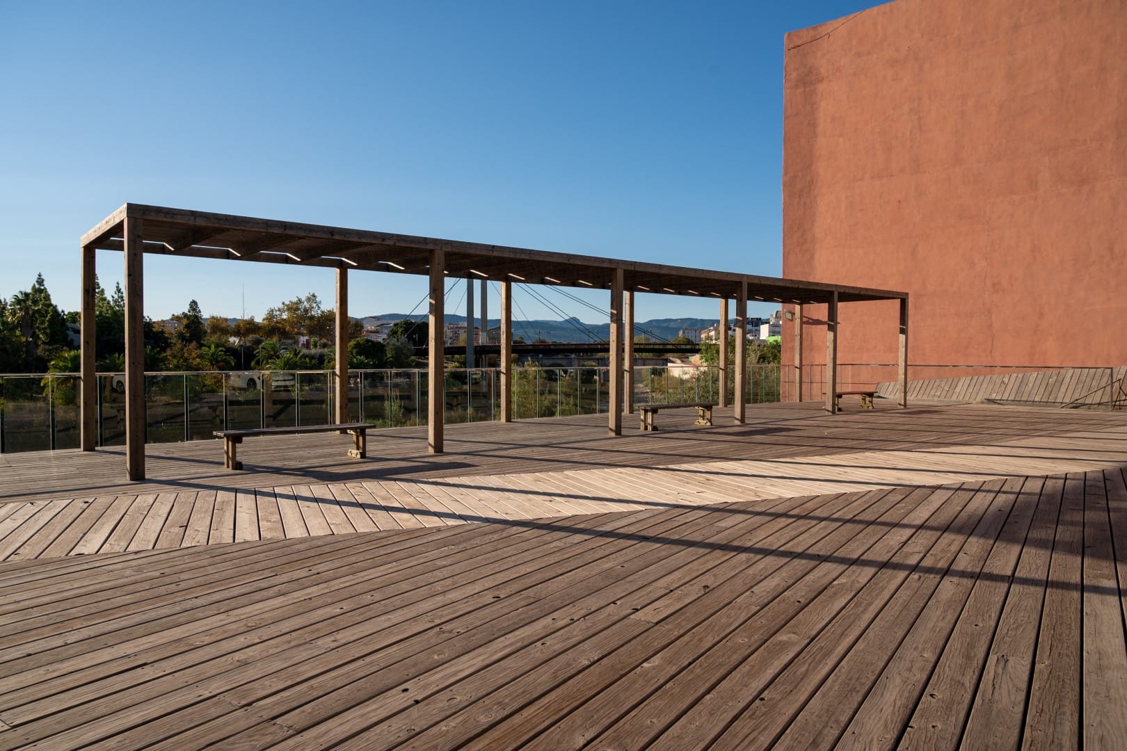
The Duchy of Gandia possessed a crop that would make the Borgias one of the wealthiest families of the era: sugar cane.
The mild climate of the area, accessible Moorish labour, techniques imported from Sicily such as sugar mills, and an agricultural farming system made sugar cane production here one of the most important in Europe. With the expulsion of the Moriscos, they lost some of their most specialised workers, causing production—and with it, the Duchy—to fall into a decline from which it would never fully recover.
Map location of the Mirador del Serpis ↗
Point 4. Hospital de Sant Marc
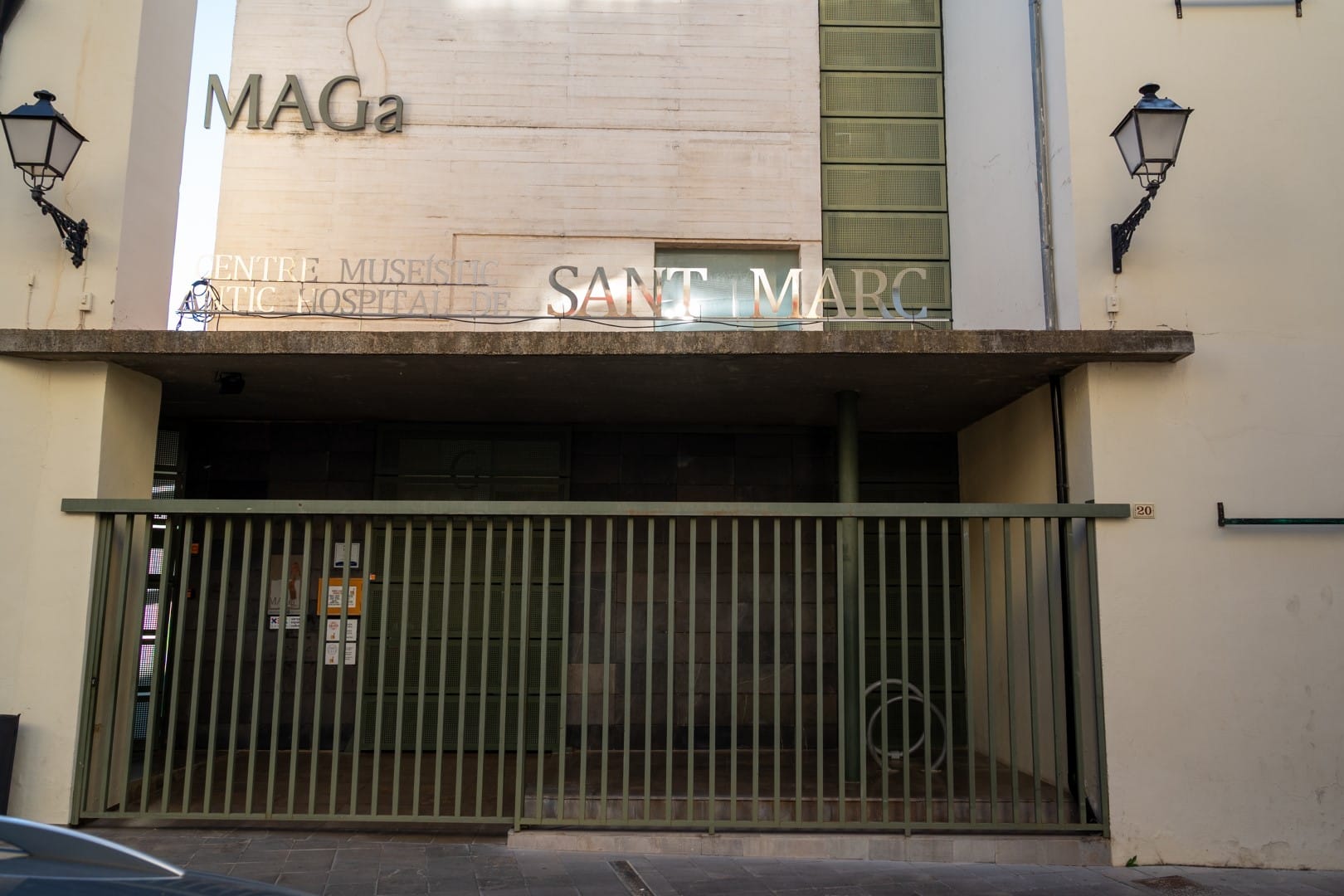
The Hospital de Sant Marc was built in the second half of the 13th century. Naturally, it cared for the sick, but also for travellers, beggars and anyone in need of alms or shelter, as well as caring for abandoned newborns.
Juana of Aragon acquired several adjoining houses to expand it. Today, it houses the Museu Arqueològic de Gandia (MAGa) and the Museu de Santa Clara, which contains the works of art donated to the convent by the Borgia family.
Map location of the Hospital de Sant Marc ↗
Point 5. Convent of Santa Clara
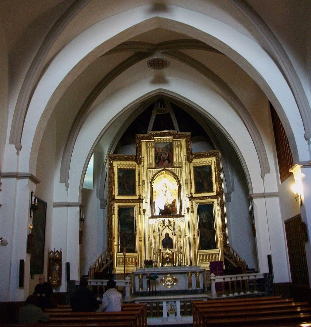
The Borja family always supported the Convent of Santa Clara, founded by Violante of Aragon. Many of the dukes’ daughters entered the convent, the first being Isabel de Borja and shortly afterwards her own mother, María Enríquez. The women of the Borja family monopolised the position of abbess for much of the 16th and 17th centuries.
The dukes were always very generous to the community, promoting various works in the convent and guaranteeing material survival in this cloister of strict poverty. They also helped raise the convent’s prestige through the works of art that form the origin of today’s Museo de Santa Clara.
Map location of the Convent of Santa Clara ↗
Point 6. Escuelas Pías
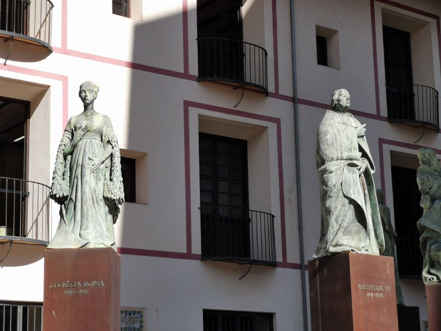
It is no coincidence that the statues of the members of the Borja family stand in this square at the Escuelas Pías. Juan de Borja was a great humanist and a close friend of Juan Luis Vives. His library was among the finest of the era.
By contrast, his son, Francisco de Borja, decided to leave everything behind for religion. On this very site, he founded the College of San Sebastián, which received a papal bull from Paul III to turn it into a university—the first in the world run by the Jesuits. In 1767, the Jesuits were expelled from Spain and the university closed its doors. They were not reopened until decades later by the Piarists, who restored its teaching function, which continues to this day. During the Civil War and the post-war period, the building served as a political prison.
Map location of the Escuelas Pías ↗
Point 7. El Torreón del Pino
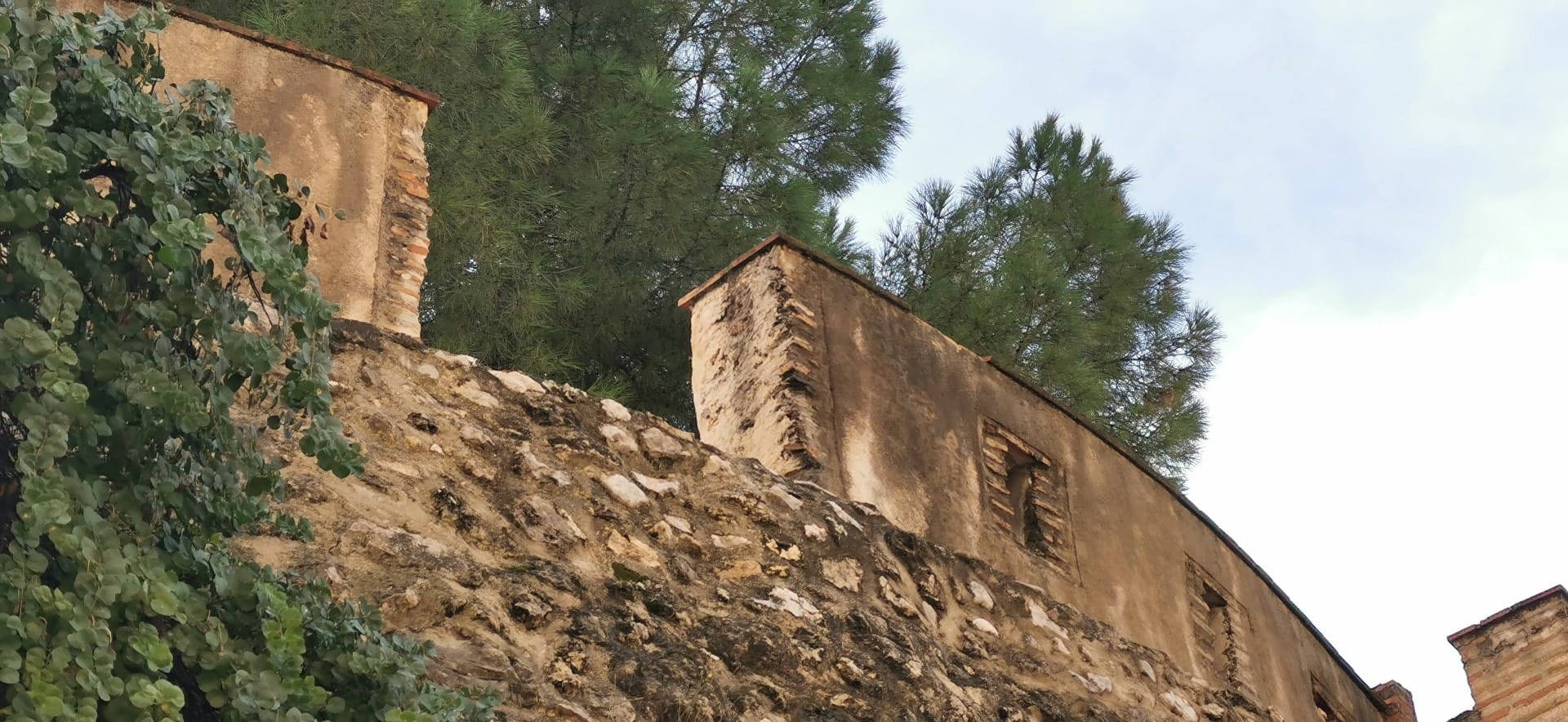
Francisco de Borja reinforced the city’s security by improving the moats, embankments and damaged sections of the wall, but the town remained very exposed, especially the district outside the walls—the area of the artisans and sugar producers. For this reason, he extended the wall to protect this area as well.
With the arrival of new cannons and artillery weapons, they needed to lower the profile of the city walls and replace the towers with defensive bastions featuring artillery platforms, like the one visited here.
Map location of the Torreón del Pino ↗
Point 8. Convent of Sant Roc
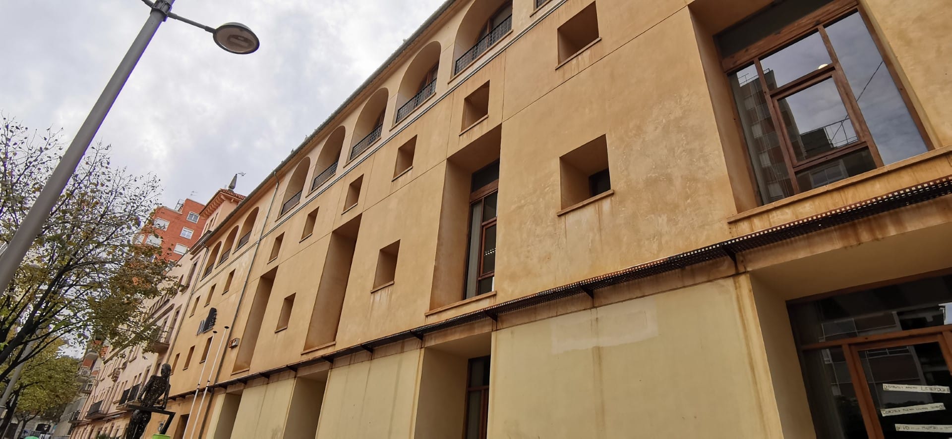
In the 16th century, Duke Carlos de Borja founded a Franciscan convent over the moat of the old medieval wall, incorporating the ancient chapel of Sant Roc. The old wall was used for one of the wings of the cloister. The entrance to the convent was crowned with the Borja-Centelles coat of arms, belonging to the 5th Duke and his wife Magdalena Centelles.
With the 19th-century church disestablishment, the convent passed into the hands of the Town Hall. The courts, prison and almshouse were established inside it, and a square was opened to connect it to the city. Today, it is the headquarters of the Institut Municipal d’Arxius i Biblioteques.
Map location of the Convent of Sant Roc ↗
Point 9. The Ducal Palace of the Borgias
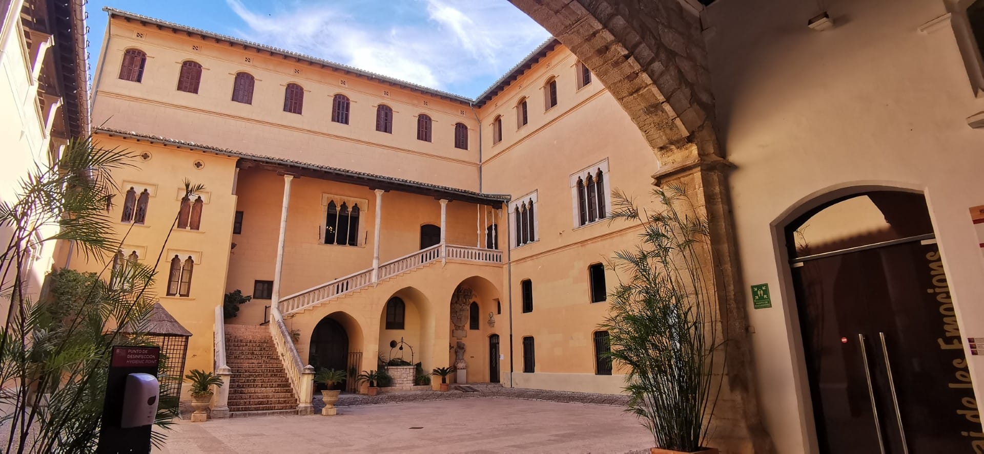
A city within the city, an urban castle erected by the royal lords in the 14th century over the tower and houses that had belonged to the king. From the 15th century onwards, the Borgias transformed it into a fortified palace with windows and balconies facing the street, as well as battlements and defensive towers, which were brought down by 16th-century earthquakes.
Francisco de Borja built the Hall of Crowns, decorated with the symbols of his great-grandfather Alexander VI. At the beginning of the 18th century, Duke Pascual Francisco Ignacio de Borja wished to celebrate the canonisation of Francisco de Borja with the construction of the Golden Gallery, whose iconography pays tribute to his figure.
At the end of the 19th century, following a long period of abandonment, the Society of Jesus acquired the property at public auction, remaining its owners to this day.
Map location of the Ducal Palace of Gandia ↗